

[Blog.]
An Irish Property & Engineering Surveyors Blog!
Property Surveying from an Engineering perspective.
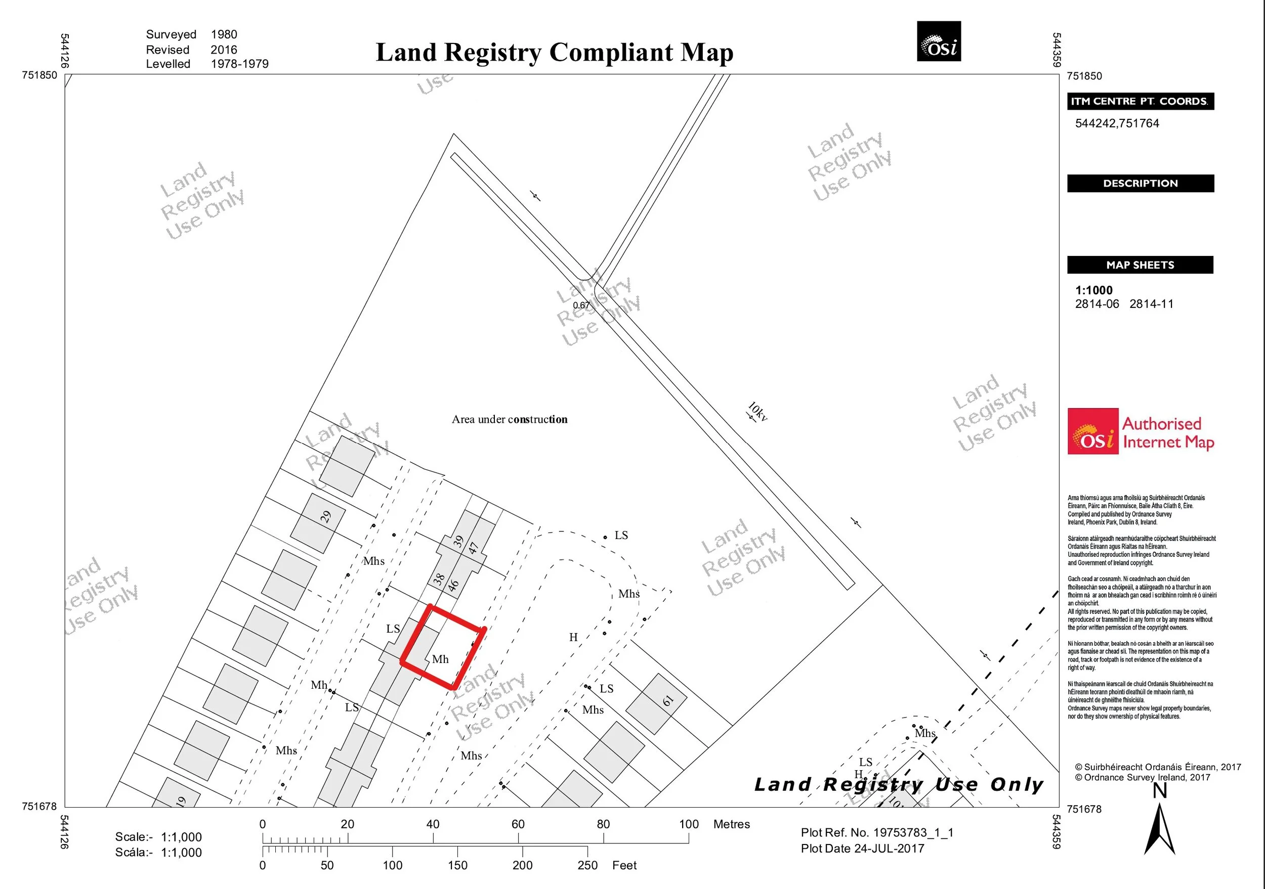
Unregistered Land: Why you need a “Land Registry Compliant Map” when selling your home in Galway or Mayo.
In Ireland if you are buying or selling land, you must provide an appropriate Land Registry Folio for the transaction. This folio contains the names of the owners and past owners of the land/property. The map attached to the folio is referred to as a ‘filed plan’. This is a map that contains the property, outlined usually in red. It also can contain leaseholds, which are outlined in green.
In Ireland there were two main ways to register property or land ownership, as follows:
Land Registry: This is now operated by Tailte Éireann, which is an independent state agency responsible for property registration and national mapping. It was established in the 1/3/2023. It was previously known as the Property Registration Authority (PRA) or Land Registry. It is a register of maps that are kept to establish ownership.
Registry of Deeds: This was established in March 1708, but it is no longer possible to register land in this way as this function has been taken over by Tailte Éireann. It was generally a descriptive register of land, often with no maps, to establish ownership. Mapping of land was generally commenced by Ordnance Survey after 1824. All transactions today, after 1/6/2011, must be carried out by Tailte Éireann and mapped on a Land Registry Compliant Map.